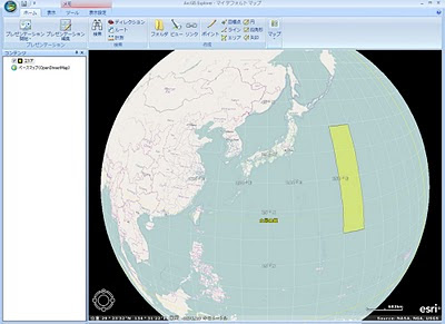
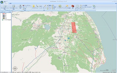
ソフトをダウンロード・インストールして使う"ArcGIS Explorer""とダウンロード・インストールなし、ブラウザベースで利用できる"ArcGIS Explorer Online"があります。私はArcGIS Explorer OnlineをOSMへの追記、印刷に利用していました。
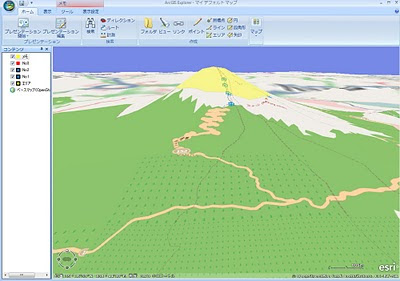
今回ArcGIS ExplorerのBuild1500で多くの機能追加がありました。ベースマップにOpenStreetMapが利用できる点や3D表示などです。
http://www.esrij.com/products/arcgisexplorer/new_arcgisexplorer1500.pdf
(ArcGIS Explorer Build1500のダウンロード)
http://www.esrij.com/products/arcgisexplorer/
http://www.esri.com/software/arcgis/explorer/download.html


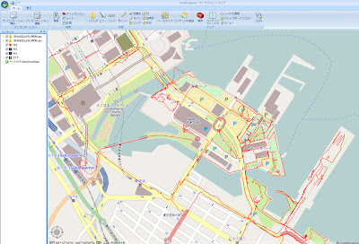
 GPSログのgpxファイルも重ねてレイヤ表示できます。gpxの高さデータも3d表示されるかな?
 ArcGIS Explorer Blog
http://blogs.esri.com/Info/blogs/arcgisexplorerblog/


